Biking/Hiking
Biking/Hiking information
Hiking Map
| For those who want to explore the many hiking trails in our area, this little map is a must-have. You can find them at the Graeagle Store and it will offer days and days of hikes to explore. Coupled with the Tom DeMund Hiking Book (also available at the Graeagle Store), you`ll be set for outdoor entertainment for years to come! |
Hiking - Smith Lake Trail
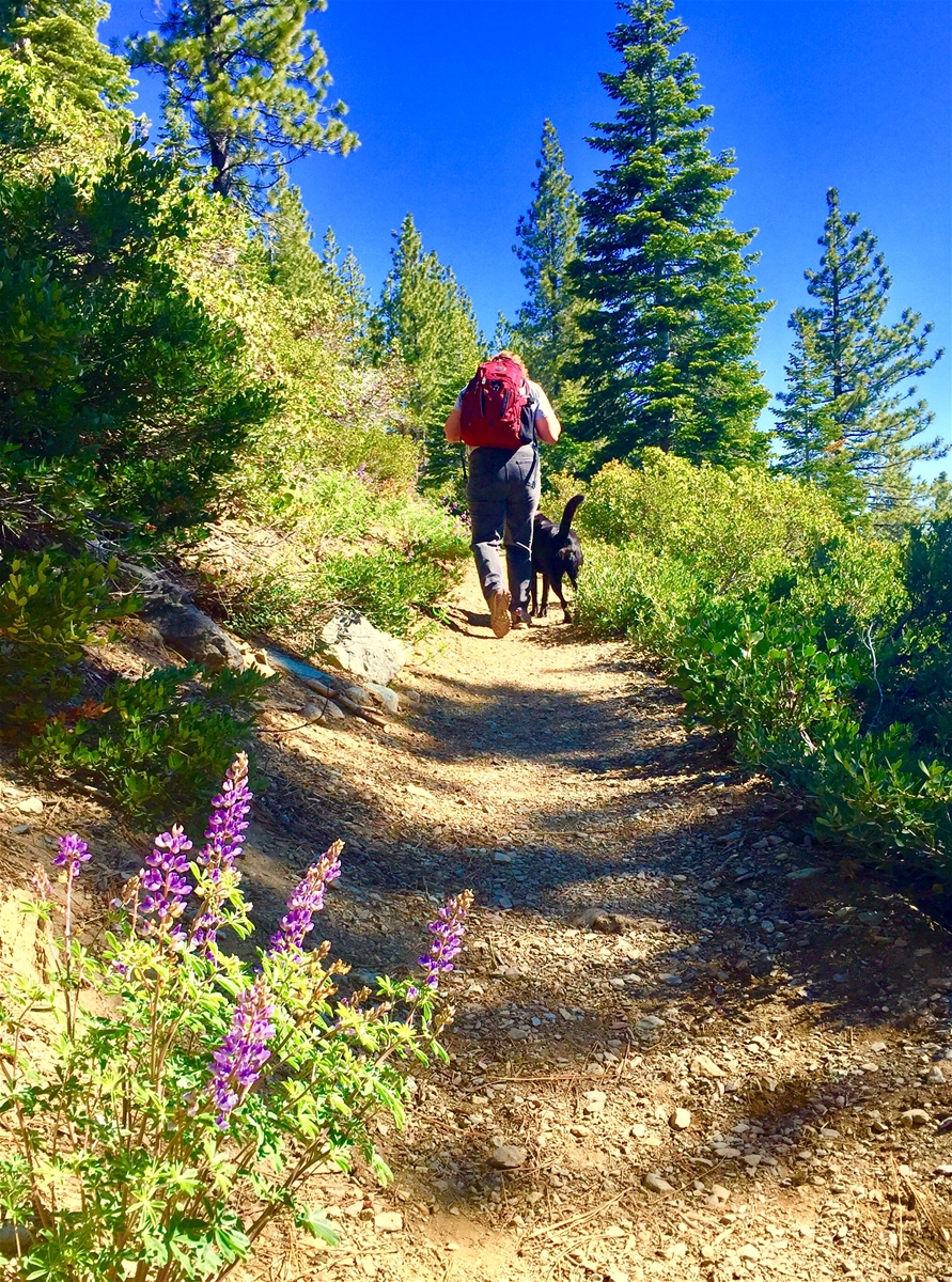
| Access this trail from the Smith Lake Trailhead off Gray Eagle Lodge Rd. This trail is a favorite because it is one of the first to be accessible in the spring and one of the last to be accessible in the fall. It`s a gentle incline leading to a beautiful lake, approximately 1 mile. Lots of shade at the lake for a picnic. You can extend the hike by taking the connector trail turn-off before you reach the lake. Switchbacks take you up on to the ridge above the lake where the views of the surrounding valleys are enticing. The connector trail goes along the north rim of the lake to the far end. There is a non-maintained trail that decends down to the lake level at the far end, but be advised that the trail is in pretty bad shape. You can make a loop from there, but the there are creeks that flow along the trail on the south side making footing a bit treacherous. |
| Location: |
Smith Lake Trailhead off Gray Eagle Lodge Road, Lakes Basin |
Hiking - Bear Lakes Loop
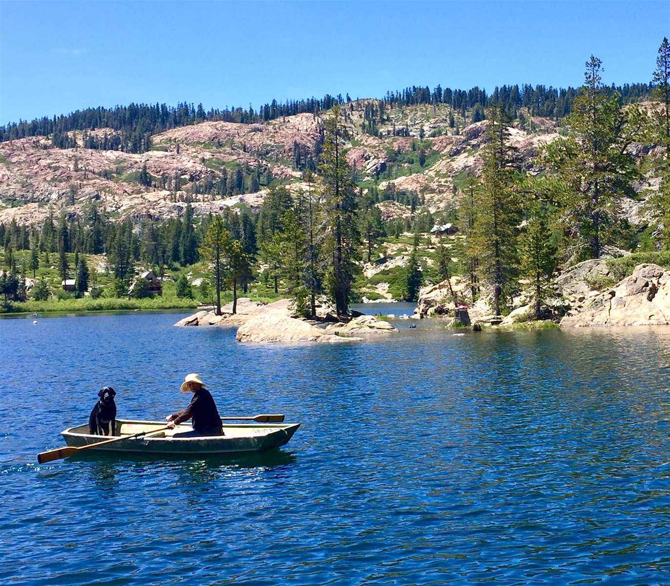
| This is a gentle hike with a few uphill climbs, perfect for the whole family. It is one of the most popular hikes because of the number of lakes it passes (Bear Lake, Little Bear Lake, Cub Lake, Long Lake) and the relatively gentle terrain. Because of its popularity, to get a parking place in the very small parking lot at the trailhead, go early or late. It is a lovely hike late in the afternoon/early evening. You can hike either clockwise around the loop by starting at the Bear Lake trailhead or counterclockwise starting at the Long Lake trailhead. Pay attention to signs and your map because there are offshoot trails that intersect this loop. One lovely offshoot is the small extension to Silver Lake, about a quarter mile off the loop. There are some lovely picnic spots there. |
| Location: |
Lakes Basin Trailhead off Gold Lake Highway |
Hiking - Sierra Buttes Fire Lookout
| This is a very popular hike, even though it is a moderately steep uphill climb with no water. The views are stunning throughout the hike and the drama of the ladder climb to the lookout makes you feel like you are on top of the world. Access the trailhead by taking Gold Lake Highway to the Sardine/Packer Lake turn. Follow the signs to Packer Lake and then when you pass Packer Lake, continue up the steep and sometimes one-lane road to the saddle. Go left at the saddle until you see the forest service gate and park there to start the hike. |
| Location: |
Trailhead accessed from Packer Saddle, Lakes Basin |
Hiking - Round Lake
| This trail has grown in popularity over the years and now any Saturday or Sunday you pass the trailhead turn-off, you`ll find parked cars along the road because the parking area is full. Go early or late to avoid the crowds on the weekend. The trailhead for this hike is at the Gold Lake Lodge turn-off from Gold Lake Highway. There is a vault toilet at the trailhead. It is an easy to moderate hike with some slightly steeper uphill as you get close to the lake. To Round Lake and back is about 4 miles, but you can make it into a loop by including Silver Lake and the 3 Bear lakes which is about a 4.5 mile hike. Early in the summer the wildflowers are abundant at the beginning of the trail. You will find lovely vistas along the way and Round Lake itself is just a gem. Plan to have a post-hike refreshment at Gold Lake Lodge just a few hundred yards from the trailhead. |
| Location: |
Trailhead at the Gold Lake Lodge turn from Gold Lake Highway |
| For experienced mountain bikers, this 9 mile trail (1-way) with a 3,000` elevation gain is a strenuous ride up from Hwy 89 just outside Graeagle to the manned Mills Peak Fire Lookout atop Mills Peak. Coming down is pure bliss with lots of good flows, some tight rocky spots and enough challenge to to keep you coming back for more. This is not a beginner ride. Buy the Sierra Buttes Trail Stewardship`s trail map of the area for more detail. It can be purchased at the Graeagle Store. |
| Location: |
Starts near the corner of Hwy 89 and Gold Lake Hwy |
| The Lake Davis Trail extends for seven miles along the south and east sides of Lake Davis. It was built along an old railroad grade by volunteers including the Portola Rotary Club. With walkways above fragile meadow environments the trail meanders in the mixed conifer forest from the intersection of County Highway 126 to Lightning Tree Boat Ramp. It`s a family-friendly ride of mostly single track with very little elevation change. There are a couple road crossings to be aware of, but a gentle ride the kids will enjoy. Lots of shade and nice views of the lake. |
| Location: |
Lake Davis |
| June 5-6, 2020 Whether you love eating dust and grinding gears for 100 miles or just want to enjoy the festival atmosphere for the weekend, the Lost & Found Gravel Grinder is fun for the whole family. The party starts Friday night goes on all day Saturday at the Portola City Park with food, drink and music. This is a fund-raiser for Sierra Buttes Trail Stewardship (www.sierratrails.org) and the first of the 3 annual SBTS Triple Crown races. |
| Location: |
Portola City Park |